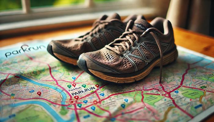
Determining your closest Parkrun Alphabet Challenge using Python and pandas
The Parkrun Alphabet is an unofficial challenge that sees runners complete a Parkrun at locations starting with each letter of the English alphabet. I am a big fan of Parkrun and wanted to work out how feasible it would be for me to complete the challenge based on the closest tourist locations to my local weekly run. I also thought this would be a great opportunity to explore pandas and work with DataFrames.
This post was originally written as a Jupyter Notebook, which can be downloaded here.
The Dataset
My first job was to build a dataset of all the current Parkrun events and their locations. Fortunately, the official Parkrun website provides this dataset indirectly via OpenStreetMap Features in their interactive map.
import requests
import json

events = json.loads(requests.get("https://images.parkrun.com/events.json").content)
For historical prosperity, I stored a local copy of this dataset. As it is not an official dataset but rather an implementation detail of another feature, there is a high likelihood it could change.
with open("closest-parkrun-alphabet-challenge.json", "w") as file:
    file.write(json.dumps(events, indent=4))
This dataset provides the necessary Parkrun event names and location coordinates (longitude and latitude). Based on a supplied local Parkrun event, I should be able to determine the closest event per letter of the English alphabet to complete the challenge.
Calculating Distances using the Haversine Formula
To calculate the distance between two different events, I will use the Haversine formula. This formula calculates the shortest distance over the Earth’s surface, giving an ‘as-the-crow-flies’ distance between two points. Although this does not account for actual travel considerations (such as roads, traffic, etc.), it is a good enough metric to solve the problem. There are many other resources that explain how this formula works. Instead of re-implementing it, I have decided to use an existing library.
!pip install haversine
[event_a, event_b, *_] = events["events"]["features"]

event_a["geometry"]["coordinates"]

# [-0.335791, 51.410992]
The library I am using appears to require the coordinates to be positioned in the opposite order (latitude, longitude) to what the dataset provides (longitude, latitude). As such, I will apply a simple transformation over the dataset before using it in the distance calculation.
from haversine import haversine

def flip(coords):
    x, y = coords
    return y, x

haversine(flip(event_a["geometry"]["coordinates"]), flip(event_b["geometry"]["coordinates"]), unit="mi")

# 4.952173093357963
Putting it all together with Pandas
Now that we have the core building blocks in place, we can solve the problem using the pandas library.
import pandas as pd

frame = pd.json_normalize(events["events"]["features"])
With the normalised dataset now imported into a DataFrame, I will apply some initial transformations to prepare the data for use. The first of these is filtering out junior events, as I only want to consider adult events.
ADULT_PARKRUN = 1
frame = frame[frame["properties.seriesid"] == ADULT_PARKRUN]
The event names appear to conform to lowercase English alphabet characters (even for international Parkrun events). We can create a new column from this data to group events alphabetically by their first character.
frame["letter"] = frame["properties.eventname"].str[0]
As discussed before, the final dataset transformation ensures that the coordinates are supplied to the Haversine formula in the expected order.
frame["geometry.coordinates"] = frame["geometry.coordinates"].apply(flip)
We can now locate the local Parkrun event within the DataFrame.
local_parkrun = frame.loc[frame["properties.EventShortName"] == "Wimbledon Common"].iloc[0]
id                                                          2
type                                                  Feature
geometry.type                                           Point
geometry.coordinates                   (51.442078, -0.232215)
properties.eventname                                wimbledon
properties.EventLongName             Wimbledon Common parkrun
properties.EventShortName                    Wimbledon Common
properties.LocalisedEventLongName                        None
properties.countrycode                                     97
properties.seriesid                                         1
properties.EventLocation                     Wimbledon Common
letter                                                      w
Name: 1, dtype: object
Finally, we determine the distance of each tourist event from the local event.
frame["distance"] = frame.apply(lambda parkrun: haversine(parkrun["geometry.coordinates"], local_parkrun["geometry.coordinates"], unit='mi'), axis=1)

challenge = frame.sort_values(['letter', 'distance'], ascending=True).groupby('letter').apply(lambda parkruns: parkruns.head(2))

challenge[['properties.EventShortName', 'distance']]
              properties.EventShortName    distance
letter
a      275                   Ally Pally   11.633086
       864                     Aldenham   14.678486
b      0                     Bushy Park    4.952173
       69                     Brockwell    5.505712
c      1317              Clapham Common    3.610917
       344                   Crane Park    6.023641
d      302                      Dulwich    6.590564
       888               Dartford Heath   18.186340
e      462               East Grinstead   23.870382
       2162           Edenbrook Country   29.585593
f      562                Fulham Palace    2.181071
       20                 Finsbury Park   10.390485
g      177                  Gunnersbury    4.729258
       343                    Gladstone    7.940967
h      1637                    Hanworth    7.156085
       65               Hampstead Heath    8.508784
i      1755            Ifield Mill Pond   23.123788
       1876       Itchen Valley Country   59.060942
j      1544                 Jersey Farm   23.143607
       900                       Jersey  177.952723
k      68                      Kingston    3.497859
       1625                     Kingdom   25.778223
l      176                        Lloyd    8.459577
       2272  Lordship Recreation Ground   12.234581
m      301                     Mile End   10.021387
       1292                 Mole Valley   14.049230
n      122                      Nonsuch    5.883647
       566              Northala Fields    9.252729
o      50                 Old Deer Park    3.569700
       524                     Osterley    6.028906
p      668                  Peckham Rye    7.443820
       234                       Pymmes   14.130422
q      481              Queen Elizabeth   46.581142
       309             Queen's, Belfast  320.843908
r      3                  Richmond Park    2.700374
       15               Roundshaw Downs    7.902912
s      2108                    Southall    7.536143
       199                South Norwood    8.075157
t      972               Tooting Common    3.729324
       2340       Thames Path, Woolwich   13.809657
u      390                  Upton Court   15.324948
       1644                    Uckfield   35.385475
v      1309               Victoria Dock   11.653173
       169                   Valentines   15.691955
w      1               Wimbledon Common    0.000000
       277              Wormwood Scrubs    5.419166
y      2297   Yarborough Leisure Centre  125.414614
       87                          York  176.070534
z      1905                  Zuiderpark  198.046322
       1779                 Ziegelwiese  523.953296
This approach provides an efficient way to determine the closest Parkrun events for completing the Alphabet Challenge using Python and pandas. Happy running!